2022 © Maxim Tabachnik


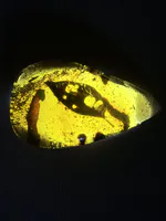
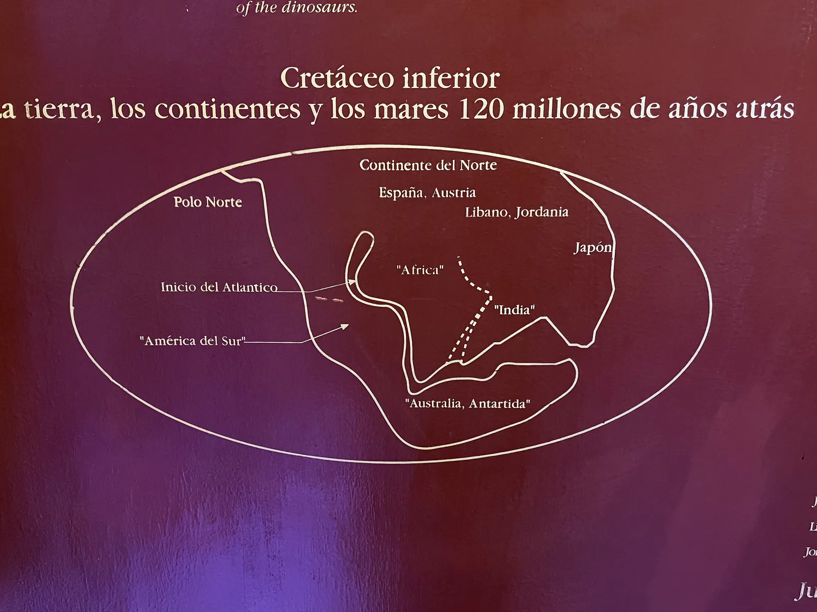
Continental Drift in the Early Cretaceo
This geological map shows simplified outlines of continents and oceans during the Early Cretaceous (120 million years ago). It presents the early opening of the Atlantic and the breakup of the supercontinent Pangaea. The position of the Caribbean, including proto-Hispaniola, indicates how plate movements created the conditions for forming fossil-rich Dominican amber.
Popular categories
Advertising space