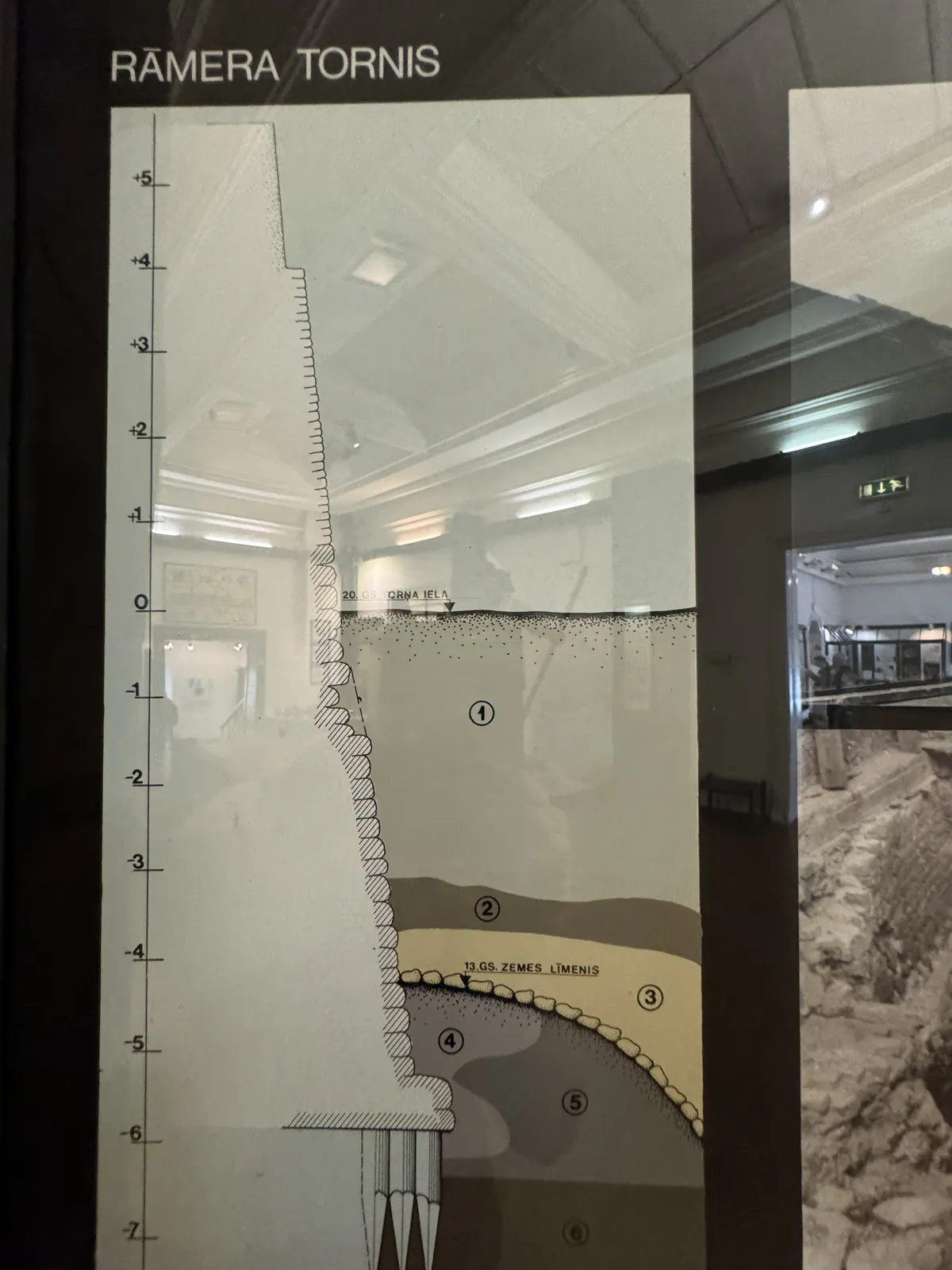
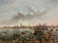
This diagram shows the stratigraphy beneath Rāmera Tower, part of Riga’s medieval defenses. Excavations (1971–73) revealed:
1.Construction debris – from building or repairs.
2.Organic-rich layer – signs of earlier activity.
3.Light sand – possibly for leveling.
4.Pit trench – for the tower’s foundation.
5.Grey loam – compact support layer.
6.Peat – traces of former marshland.
7.Gravel – stable base.
The profile reflects how Riga’s fortifications were adapted to soft, layered terrain.
2024 © Maxim Tabachnik


Stratigraphy Diagram of Rāmera Tower
Popular categories
Advertising space